Google Street View now has images for 16 million kilometers
Google’s car has come a long way since the Street View service was born 12 years ago from an idea by Larry Page.
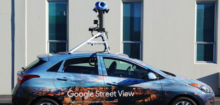
Although Google – or better to say Alphabet – is really involved in a wide variety of activities between active commercial projects and experimental research projects, there is perhaps an iconic element that makes the Mountain View giant recognizable outside the web: it is his ” toy car ” with the complex turret-like camera system that is used to take photographs of the streets that are used for the realization of the Street View service.
Toy car (well, of course, there are more than one) that has allowed Google to cross an important milestone after 12 years of service activity: Street View has photographed over 10 million miles of roads, highways, avenues, and alleys all over the world.
They are over 16 million kilometers, roughly 400 times the length of the Earth’s equator: think of this toy car that goes around the world 400 times.
Big G also said that Google Earth can now have as many as 36 million square miles of satellite imagery that are used for viewing the world from above. To put it in another perspective: these images map those parts of the world where, on the whole, 98% of the world population lives.
It is the first time that Google has openly shared this kind of information relating to Google Maps (Earth and Street View are two complementary elements of Maps) which, among other things, can boast over 1 billion monthly users.
Google Street View was conceived in 2004 by Larry Page, the co-founder of Google, who in recent days has announced his resignation as CEO of the company. Page’s goal with Street View was to create a truly all-round world map that went beyond roads and highways, including driveways, trails, and scenic spots.
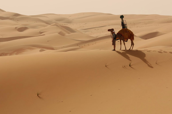
And to obtain this capillarity Google uses not only a fleet of vehicles but also particular backpacks worn by people on foot or on animal transport vehicles, such as sheep and camels.


